American Geophysical Union issued Geophysical Research Letters titled Unveiling the Global Extent of Land Subsidence: The Sinking Crisis.
Scientists found that there was a significant positive correlation between the rate of groundwater abstraction and the subsidence rates. That is, these areas need efficient use of water to reduce this geological risk.
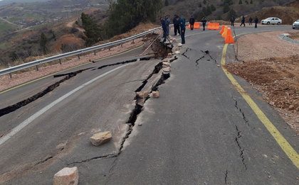
The researchers used data related to land subsidence and collected by remote sensing. They found that more than 6.3 million square kilometers of the Earth's surface (about 5 percent of the world's total land area) is sinking at a rate of more than 5 millimeters per year. This is enough to cause damage.
The used computer modeling found that the main cause of land subsidence was the uncontrolled abstraction of groundwater. This is followed by seismic activity associated with earthquakes, and then environmental conditions (ie, precipitation) that affect groundwater recharge.
South Asia has the largest land area at risk of subsidence - 2.2 percent of its total area is sinking more than 50 millimeters per year.
Among the 195 countries considered for zonal analysis, the top five countries with the largest mean subsidence rates were found to be Philippines, Iran, Costa Rica, Indonesia, Uzbekistan.


